Methodology/ Methods/ Framework/Approach
The study will use qualitative (drawing-based method) and quantitative research methods to record and analyse the food gardens.
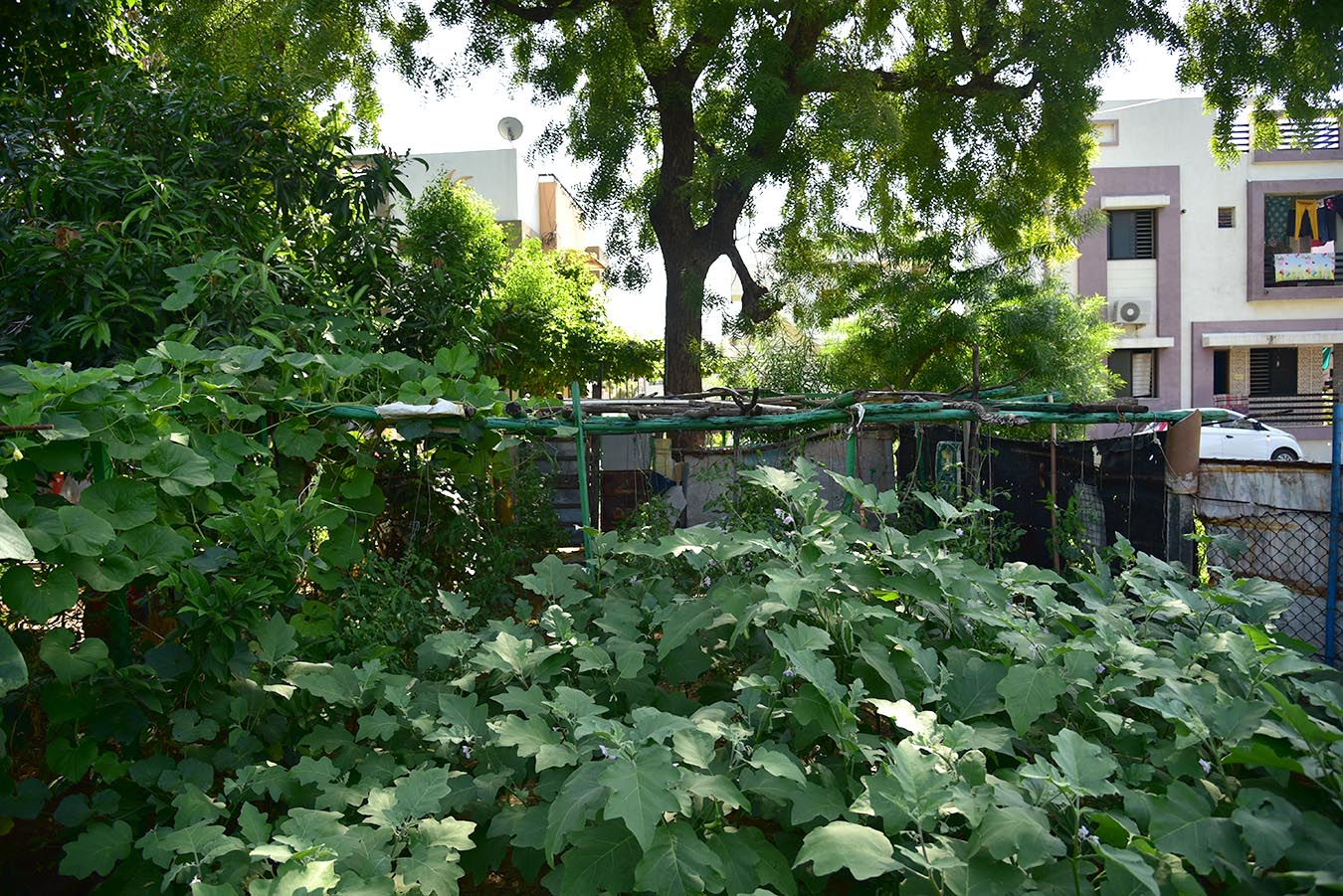
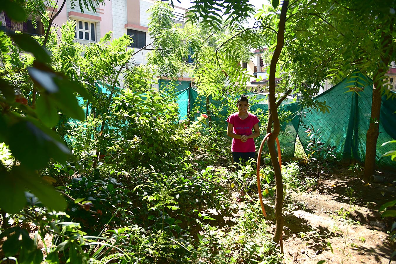
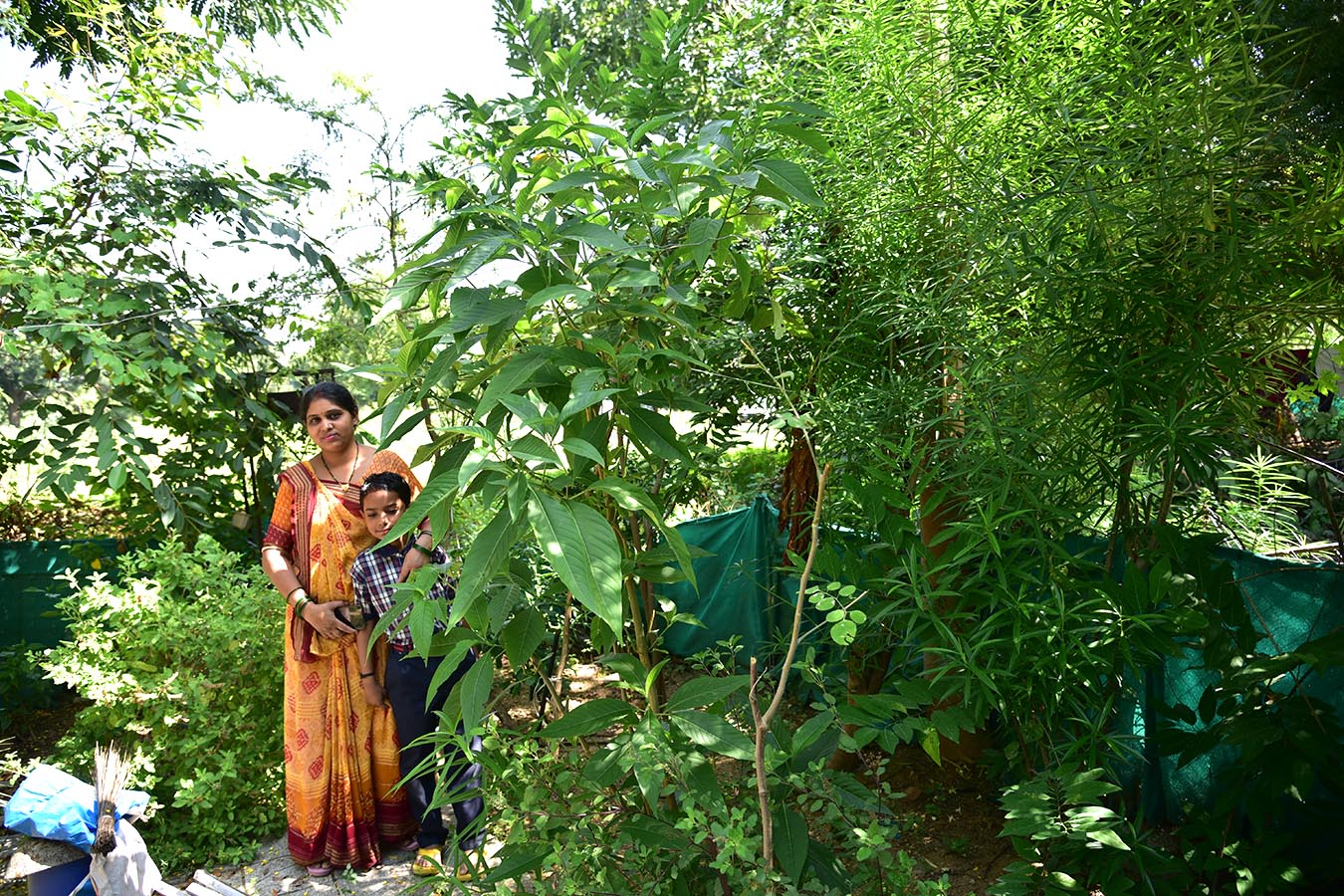
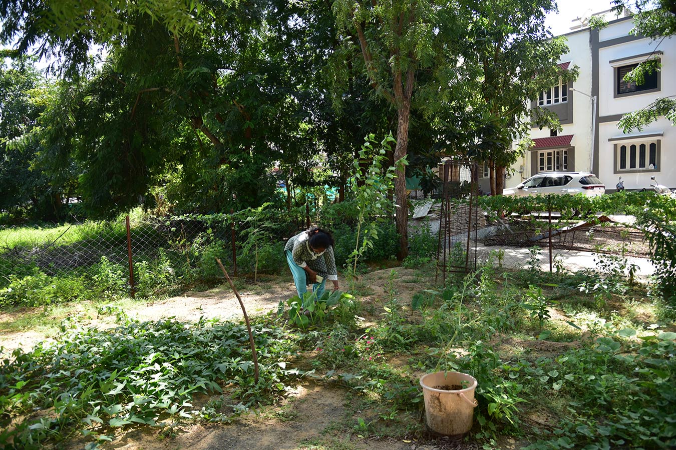
1_Narrative cartographies – Up to 6 food gardens will be documented through drawings, using specific methods that show garden layout, plot size, plantation, and use. We will analyze the growing patterns (multi layers of vegetation and species composition), predominant varieties, usage, species, and working.
2_Household surveys – About 20 residents will be interviewed to assess motivations, challenges, land holding, and management. Further, a questionnaire survey will be conducted with municipal authorities to understand viewpoints on the ongoing practices.
Disssemination:
L Scale (Sector): the finding will include an overall map and distribution of sites in relation to urban land uses as per the development plan. The map will illustrate the number of gardens, location, and how they are connected to households.
S scale (At garden scale): the findings will include different typologies of gardens, lot working, edges (boundaries between the public realm of the street and the semi-private food gardens), layout (paving, garden elements and plantation) and different usages at different time and overall working (water, electricity, fertilisers etc.)
XS scale (details): It will detail the Species list (fruit and medicinal trees, shrubs, seasonal vegetables) materiality, biodiversity, human interactions in the space.
The drawing-based outcomes and household survey will be synthesised towards making visible a self-constructed infrastructure- and bring forth both the view and value of productivity in urban spaces and knowledge of poor practices in the self-initiated gardens.


